UN
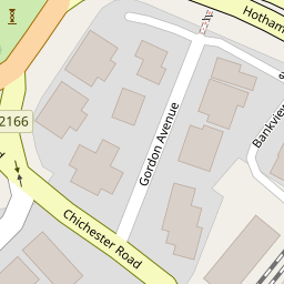
18 Gordon Avenue
£ 215,000
Description
We don't have a Description for this property.
- Bedrooms
- 3
- Bathrooms
- 0
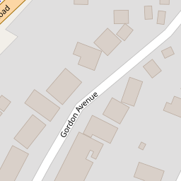

Leaflet © OpenStreetMap contributors
The heatmap indicates the level of crime in the area. The color of the heatmap indicates the crime severity and recency.
Metrics Year-on-Year
- Average area value
- 761,083.00 £Increased by 6.90 %
- Average area rental value
- 2,056.00 £/moDecreased by 3.34 %
- Est rental Yield
- 3.24 %Decreased by 9.75 %
- Crime Rate
- 6.00 %Unchanged by 0.00 %
from 711,963.00 £
from 2,127.00 £/mo
from 3.59 %
from 6.00 %
Nearby Schools
| Name | Type | Ofsted | Distance |
|---|---|---|---|
| South Bersted Cofe Primary School | Voluntary Controlled School | Good | 0.45 KM |
| Edward Bryant School | Academy Converter | Good | 0.53 KM |
| St Mary'S Catholic Primary School | Voluntary Aided School | Good | 0.78 KM |
| Bersted Green Primary School, Bognor Regis | Community School | Good | 0.95 KM |
| Bognor Regis Nursery School | Local Authority Nursery School | Outstanding | 1.03 KM |
Images
Nearby Streets
| Name | Average Price | Average Sqft | Distance |
|---|---|---|---|
| Gordon Avenue | £ 0 | 0 | 0.00 KM |
| Stanley Close | £ 90,000 | 0 | 0.00 KM |
| Melanie's Gardens | £ 0 | 0 | 0.00 KM |
| The Paddock | £ 289,950 | 0 | 0.00 KM |
| Highcroft Close | £ 0 | 0 | 0.00 KM |
Nearby Transport
| Name | NLC | TLC | Distance |
|---|---|---|---|
| Bognor Regis | 5253 | BOG | 0.76 KM |
| Barnham | 5252 | BAA | 5.63 KM |
Nearby Listings
| Address | Price | Type | Score | Distance |
|---|---|---|---|---|
| Gordon Avenue, Bognor Regis | £ 260,000 | BUY | Unknown | 0.00 KM |
| Gordon Avenue, Bognor Regis | £ 90,000 | BUY | Unknown | 0.06 KM |
| Gordon Avenue, Bognor Regis | £ 365,000 | BUY | 6 / 10 | 0.07 KM |
| Highfield Road, Bognor Regis | £ 300,000 | BUY | 7 / 10 | 0.07 KM |
| Gordon Avenue, Bognor Regis, West Sussex, PO22 9LX | £ 180,000 | BUY | 5 / 10 | 0.08 KM |
Nearby Properties
| Address | Price | Distance |
|---|---|---|
| 22 Gordon Avenue | £ 190,000 | 0.00 KM |
| 24 Gordon Avenue | £ 118,000 | 0.00 KM |
| 18 Gordon Avenue | £ 215,000 | 0.00 KM |
| 23 Gordon Avenue | £ 235,000 | 0.06 KM |
| 3 Gordon Avenue | £ 350,000 | 0.06 KM |